


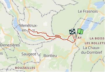

15.4 km | 20 km-effort

User


FREE GPS app for hiking
 SityTrail
IGN / Geographical institutes
SityTrail World
The world is yours!
Trail Walking of 14.5 km to be discovered at Bourgogne-Franche-Comté, Jura, La Chaux-du-Dombief. This trail is proposed by zefreefly.
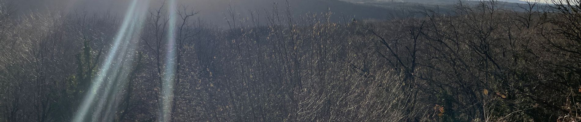
Rando agréable, qui demande d’être en condition physique.
De beaux points de vue sur les cascades.
Pas de bitume.
A faire tôt le matin pour éviter la foule.


Walking

Walking

Walking

Walking

Walking

Walking
Walking

Walking

Walking